A Big Revamp to an Indispensable Graphic
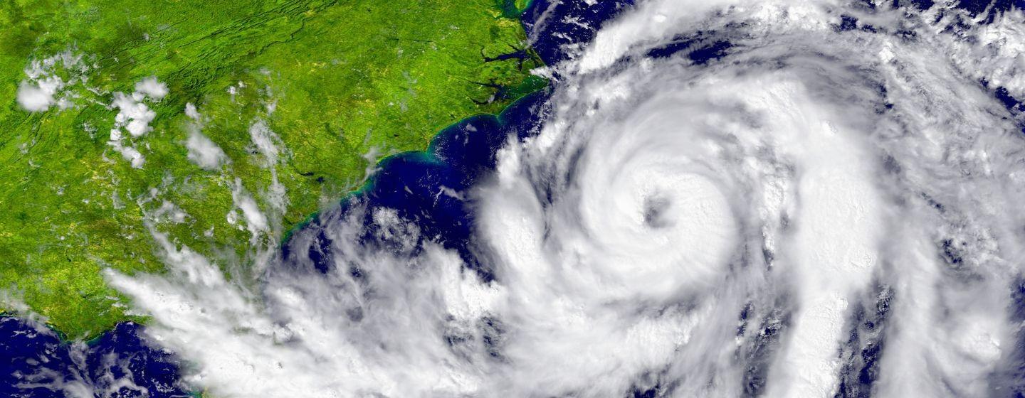
The “cone of uncertainty” is a regular sight on televisions, computers, smart phones and newspapers during hurricane season. It not only communicates who is in the path of a hurricane but also how soon they must decide to evacuate.
But for all the information the cone communicates, it has also been criticized for not providing enough information. Specifically, while it does show a hurricane’s potential landfall, it doesn’t illustrate a storm’s potential impacts.
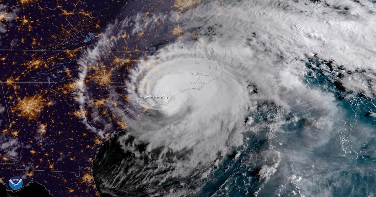
So, starting with the peak of 2024’s hurricane season in mid-August, the National Hurricane Center (NHC) will superimpose watches and warnings for inland tropical storms and hurricanes on top of the forecast cone. Why is this so notable? Wind and flooding in inland areas are often more dangerous than damage to the coast.
“It’s designed to help people more accurately assess their risk,” Michael Brennan, Ph.D., NHC’s director and an NC State alum, told the Washington Post. “We want to depict that risk as accurately as possible.”
The cone’s long history
The forecast cone dates to 2002. The cone’s boundaries are designed to include the area where the center of the storm is likely to land. However, the cone widens because it is also designed to show increasing forecast uncertainty about the storm’s path over time.
However, the center has found the message isn’t always clear to viewers.
The most recent revision to the cone, in 2017, added indicators of the storm’s size, orange and red shaded circles that mark the reach of tropical storm- and hurricane-force winds.
In fact, the width of the cone changes from year to year, based on the accuracy of the hurricane center’s forecasts over the previous five years.
Telegraphing inland threats
The latest version of the cone aims to help people understand wind-risk hazards inland in addition to the coastal areas that tend to see the most devastation.
According to Jamie Rhome, deputy director of the NHC, in a story from the Associated Press, the goal of the new additions is to ensure people who don’t live along a coast are aware of the dangers they can still face. “Heavy rains and high winds can be deadly and cause severe damage inland. If you live in one of those areas, ‘you are under risk.’”
There’s growing evidence that the effects of climate change, including rising sea levels and strong storms, are making hurricanes more intense and increasing the likelihood that hurricanes can strengthen rapidly, which leads to more storm surge and inland flooding.
The top water-related danger during a hurricane is storm surge, a rise in ocean water that storms push on shore.
Which is why there could be even more changes coming to the cone, as scientists consider how to pack even more information about potential storm damage into a single image.
Watch a Sci NC story about a scientist at the UNC Institute of Marine Sciences whose research on storm surge is included in the NHC’s model.