New Flood Dataset Helps Communities Plan for the Future
by
Published on
It’s safe to say that the more information you have, the easier it is to plan for what’s to come.
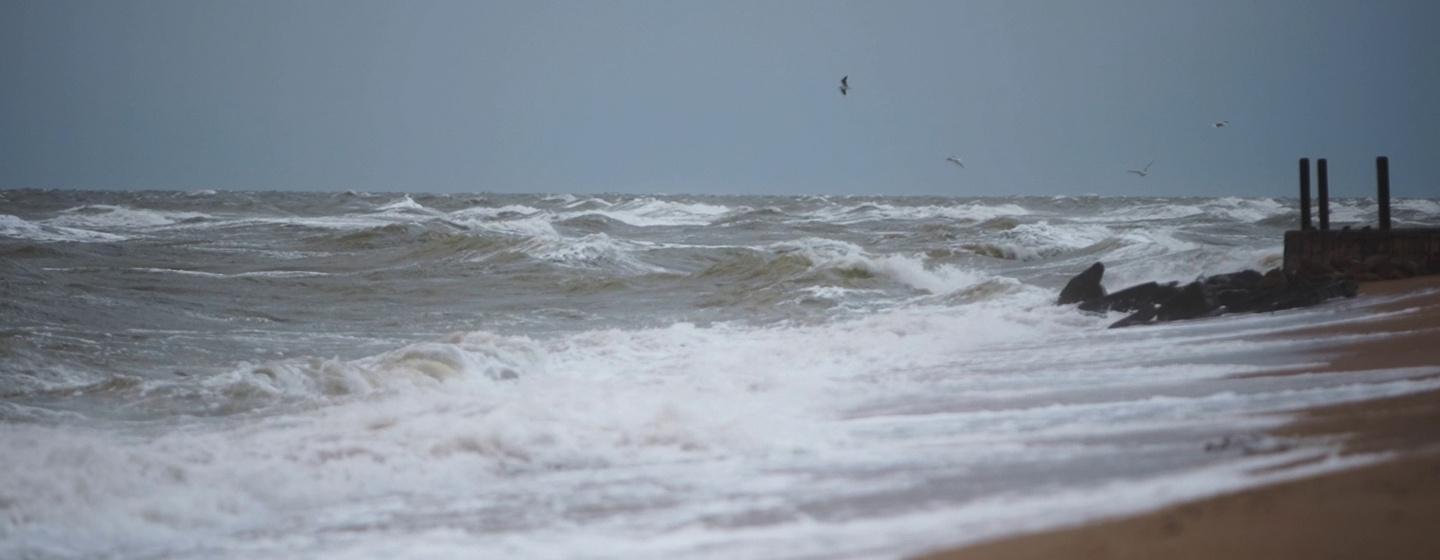
However, data hasn’t always been available for coastal communities trying to assess the dangers of flooding. Planning usually starts with understanding historic changes in water levels. But until now, historical flood data was only available for tide gauge locations run by the National Oceanic and Atmospheric Administration (NOAA).
The trouble is that in some areas of the Atlantic, Caribbean and Gulf coasts, those gauges can be hundreds of miles apart. That’s because the gauges are mainly located near population centers like cities and ports. In the past, if you were a town official making flood management plans for a community between the gauges, planning would be a challenge.
Not anymore.
The National Ocean Service (NOS), which is part of NOAA, has launched Coastal Ocean Reanalysis (CORA), the first comprehensive dataset that includes more than four decades of modeled historical water level and wave information covering roughly every quarter mile along the U.S. coastline.
CORA helps create a more complete, consistent picture of historical water levels by modeling waves and water levels between NOAA tide gauges. CORA pairs historical observations from NOAA tide gauges with modern computer models to fill in the gaps.
“Historical coastal water level information is necessary to assess changing flood risks to communities and to predict the likelihood of flooding,” NOS Director Nicole LeBoeuf said in a release. “This new dataset will improve NOAA’s current flood-risk assessment tools and help scientists develop new coastal flood products and services for the nation.”
CORA is a community-based modeling effort made possible through a collaboration with UNC-Chapel Hill’s Renaissance Computing Institute (RENCI). Created in 2004, RENCI uses data science to drive discoveries in health and environmental science as well as economics and business.
CORA is a perfect example of what data science can do. The dataset at CORA’s launch covered 1979–2022. The next planned update will include data from 2023. RENCI combined observations from National Water Level Observation Network stations (tide gauges) with computer modeling to better assess long-term sea level change and compare current flood risks to what happened in the past.
The data can be used by city planners, engineers and public safety officials to support coastal flood planning.
“CORA provides coastal communities with new insights into how their flood risk has changed over time,” said Analise Keeney, project lead and oceanographer at NOAA’s Center for Operational Oceanographic Products and Services (CO-OPS), in the release. “Combined with NOAA’s long-term tide gauge data, the data enables more coastal communities to understand their past flood risks so they can better prepare and respond to future events.”
NOAA researchers plan to incorporate CORA’s datasets into the National Water Model to help make coastal flooding maps more complete.
To better understand flood risks where you live, you can find CORA’s analysis at NOAA’s Open Data Dissemination platform.
UNC researchers and NASA are mapping all the world's water with a new satellite.