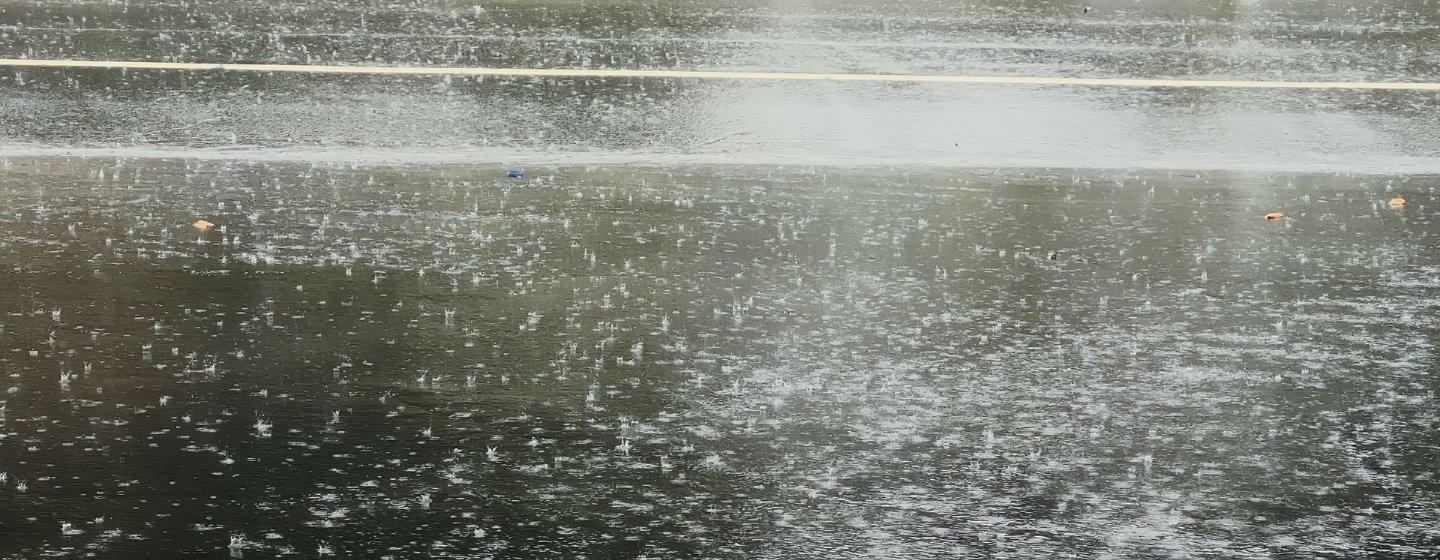
New Report Finds When It Rains, It Really Pours


It turns out in an era of climate change, there’s a lot of truth to that saying, “When it rains, it pours.”
In a 2025 report from the research group Climate Central, researchers who analyzed almost 50 years of rainfall data found that climate change is supercharging the water cycle, bringing heavier rainfalls and accompanying risks across the U.S.
The group studied rainfall intensity in 144 cities and found that in 88% of them (126 cities), hourly rainfall intensities increased from 1970 to 2024. In fact, the hourly rainfall rates in those cities are now about 15% higher and, according to the Fifth National Climate Assessment, the heaviest rainfall events have become wetter in all regions of the U.S. The assessment was mandated by Congress and is produced roughly every four years. It provides authoritative information about climate change risks, impacts and responses in the U.S. The last assessment was published in 2023. Production of the next assessment is under review by the Trump administration.
To calculate the increase in rainfall intensity, researchers divided each location’s total annual rainfall by the total hours of rainfall. The data was provided by the National Oceanic and Atmospheric Administration (NOAA) weather stations.
Climate scientists say human-driven climate change is resulting in warmer air, which holds more moisture, and that’s what drives more intense precipitation. In fact, for every 1°F of warming, the air can hold 4% more moisture, which increases the chance of heavier downpours and more flooding.
Climate Central’s study found that hourly rainfall intensity in Raleigh/Durham as well as other areas of the state increased by 22% between 1970 and 2024. That’s higher than the average increase of 15% found in other cities in the survey. Overall, North Carolina was drenched by several notable rainfall events that researchers say highlight the trend they found.
The researchers found, as you might expect, that the most noteworthy event was Hurricane Helene. Former NOAA chief scientist Ryan Maue calculated that Helene, along with a rainstorm that preceded the hurricane, dumped 40 trillion gallons of water on the Southeast. That staggering amount of water is enough to fill Lake Tahoe. And if you look at rainfall data from July to September 2024, 31.5 inches of rain fell on the Triangle, making it the wettest three-month stretch since records were kept. The next closest period was in 1945.
As the planet continues to warm, rainfall extremes are likely to get worse, according to the latest assessment report from the Intergovernmental Panel on Climate Change (IPCC). At a projection of 2°C (3.6°F) of global warming, most of the U.S. will see increases in precipitation extremes, according to the Fifth National Climate Assessment. Scientists say the planet has already warmed about 1.2°C (2.1°F) since the beginning of the industrial revolution and that extreme rainfalls are likely to increase worldwide.
Climate change and a predecessor event made Hurricane Helene a "perfect storm."