Lots of History Could Be Lost
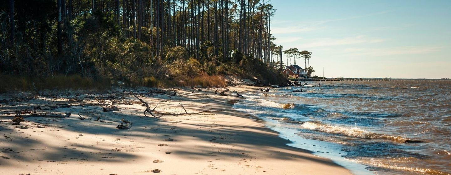
Fort Raleigh National Historic Site sits on a picturesque 355 acres on the north end of Roanoke Island, where the Albemarle, Croatan and Roanoke Sounds all come together.
It’s not only beautiful, but also incredibly historic.
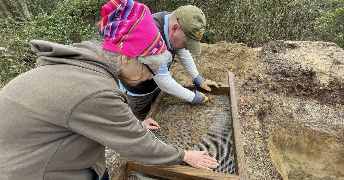
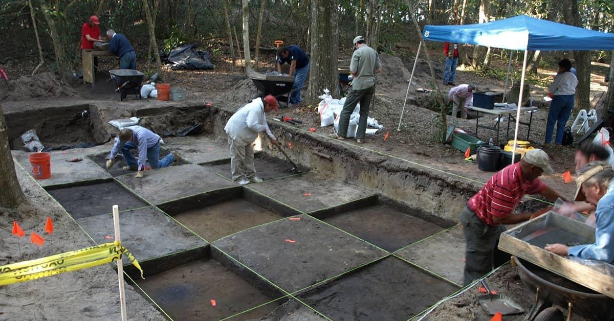
The Algonquian lived there before Sir Walter Raleigh led English expeditions to establish a colony on the land. In 1587, about 118 English settlers went to Roanoke, but by 1590, they had all disappeared. They became known as the “Lost Colony.” Centuries later, during the American Civil War, formerly enslaved people founded the Freedmen’s Colony in the area.
Those are some of the stories being told by the national park unit at Fort Raleigh, which was established in 1941 to preserve the area. It could all be lost to the sea and erosion, however, if something isn’t done soon.
According to a public scoping newsletter from the National Park Service (NPS), “Erosion along the remaining exposed shoreline, including 4500 feet of unstable, undercut cliffs as high as 25 feet, poses a serious threat to potential archeologically significant sites and park facilities. Without action, the erosion will most likely continue, causing continued loss of park lands, vegetation, archeological resources, and ultimately park facilities such as roadways, parking areas, and buildings.”
Erosion continues to be a challenge
The NPS says erosion has been an ongoing problem, and there have been attempts to save the shoreline in the past. Wooden groins were built to protect the shoreline in the 1940s, and a breakwater (which protects against waves) made of sandbags was built offshore in the 1960s. The last effort to save the shore was the dumping of riprap (medium- and large-sized rocks to protect shorelines from erosion) near the Dough Cemetery and along the shoreline near the Lost Colony Waterside Theatre in the 1970s.
Yet, despite these efforts, the agency says erosion continues to threaten the area. Mature trees near the shoreline are falling, and potential archaeological resources may wash away without intervention.
On top of that, stronger storms and sea level rise are making things worse. About one mile of Fort Raleigh’s shoreline remains unprotected. Erosion is also starting to compromise past protection efforts.
Several plans under study
The NPS is studying three plans to stabilize the shoreline. They include a rock revetment (retaining wall) against the shoreline escarpment (slope) with fill material to create a different slope; a 5–10-foot-high rock berm (raised bank) with a 20–40-foot-wide base at the toe of the existing slope on the beach, possibly backfilled with natural materials; or a site-specific combination of both plans along the mile-long stretch.
Officials will evaluate the environmental impact as well as how the plan impacts the historic site’s natural and cultural resources. The NPS hopes to select a plan before the end of 2025, but it may be several years before the work begins.