NOAA Launches Rip Current Forecaster
Even though rip currents are common, they are one of the most dangerous things beachgoers face.
“Rip currents are on the beach every single day, but only a few days per year do they hit dangerous velocities” said Spencer Rogers, Coastal Construction and Erosion Specialist with North Carolina Sea Grant. “So only four-to-five days per year do they get to be fast enough where there is a risk of drowning.”
Rogers has studied rip currents for years and says while they happen daily and can form in rough and calm seas, the most dangerous time for rip currents is in the clear weather after a storm or if there is a distant hurricane.
NOAA estimates more than 100 beachgoers drown because of rip currents every year.
But this year, the agency hopes a new national rip current forecast model can reduce fatalities and save the lives of beachgoers around the nation. The new model can predict the hourly probability of rip currents along U.S. beaches up to six days out.
It was first tested in Kill Devil Hills with help from the town’s Ocean Rescue Lifeguards and then validated on other North Carolina Beaches.
“Safety for beach-goers and boaters is taking a major leap forward with the launch of this new NOAA model,” said Nicole LeBoeuf, acting director of NOAA’s National Ocean Service. “Extending forecasting capabilities for dangerous rip currents out to six days provides forecasters and local authorities greater time to inform
What are rip currents?
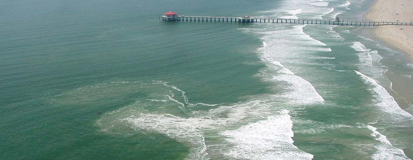
Rip currents are powerful, narrow channels of fast-moving water that are prevalent along the East, Gulf, and West coasts of the U.S., as well as along the shores of the Great Lakes.
They form because waves pile up water along the shore. The water then rushes back out to sea through narrow channels in sand bars close to the shoreline. Usually those currents are weak, but sometimes the water can move at speeds of up to eight feet per second, which is faster than an Olympic swimmer.
The model utilizes wave and water level information from the National Weather Services’ Nearshore Wave Prediction Service. NOAA’s National Ocean Service and National Weather Service developed the model. It’s similar to the standard weather forecast, because it predicts the likelihood of dangerous seaward currents on a sliding scale - from 0 to 100%.
Engineers and scientists continue working on the model using webcam imagery and artificial intelligence identification of rip currents.
“Before this, forecasters were manually predicting rip currents on a large section of the ocean twice a day and only a day or two into the future,” said Gregory Dusek, NOAA scientists who developed the model. “The earlier prediction has potential to substantially increase awareness and reduce drownings.”
The forecast model covers a majority of the U.S. East and Gulf Coast and portions of California, Hawaii, Guam and Puerto Rico. Additional coastline coverage will be expanded in the future.