New Tower Keeps Tabs on Migrating Birds
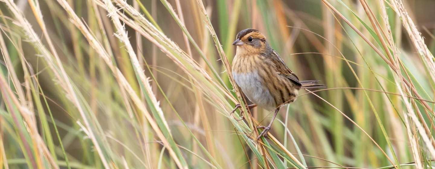
Lea Island is an undeveloped barrier island south of Topsail Island, North Carolina. It’s an oasis of windswept sea grass, sand, ocean waves, salt spray and birds. Lots of birds.
There are so many migrating birds stopping to rest on the island and then moving on that Lea Island is part of the Audubon Society’s coastal sanctuary network and an officially designated Important Bird Area. And now, researchers have a new way to track the migratory birds flying along the North Carolina coast.
“Birds connect our coastal sanctuaries in North Carolina to places across the hemisphere,” said Lindsay Addison, a coastal biologist at Audubon North Carolina. “This tower will give us the details, letting us know when a bird that’s traveled from, say, Hudson Bay or South America has stopped over right here on our coast.”
It’s called a Motus wildlife tracking tower. It stands 20-feet tall and holds antennae that will pick up radio signals from any bird with a radio tag that flies within nine miles of the island.
The tower is a partnership between Cape Fear Audubon, Audubon North Carolina and UNC Wilmington’s Danner Lab.
Many people are familiar with the large satellite radio transmitters used to track large birds such as hawks and owls. While the Motus tower will record those signals, the system is especially critical in studying smaller birds fitted with nanotags, tiny radio tracking devices often as light as an aspirin tablet.
Data from the nano tags is first received by a ground-based transmitter rather than an orbiting satellite. When a radio-tagged bird flies nearby, it pings the Motus tower. The tracking data from Motus towers across the U.S., Canada and parts of Europe is automatically uploaded to the Internet, where anyone can view it.
That’s right, scientists as well as the public can see what birds are flying where.
“This was a team effort that will help us better understand how birds move through our coast,” said Jim Nesbit, president of Cape Fear Audubon. “It also helps fill in the gaps in a global network of bird data.”
There are now three Motus towers in southeastern North Carolina, with one each at Bald Head Island, Masonboro Island and Lea Island. The U.S. Fish and Wildlife Service has installed towers at wildlife refuges on the northeastern coast of the state.
North America has lost nearly 3 billion birds over the last several decades. Audubon officials say the growing Motus network can help gather important data on the movement of birds. That will help us better understand and protect them throughout their life cycles.
The data collected also supports Audubon’s Migratory Bird Initiative, which brings together tracking, banding and eBird data across the Western Hemisphere to help improve conservation planning for imperiled birds.