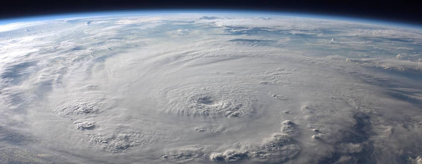
Expect More Atlantic Coast Super Hurricanes


The Atlantic Coast of the United States has a lot of wonderful things going for it: dynamic cities, beaches, the ocean—the list goes on.
That’s why more than 118 million people live on the East Coast, according to 2017 population data. It means more than one third of the U.S. population live on the East Coast. The numbers are surely higher now.
Here’s the problem.
That same coast has become a breeding ground for supercharged hurricanes, according to a new study published in the journal Geophysical Research Letters.
“The nearshore environment has become more favorable for hurricanes near the Atlantic coast, consistent with the rising hurricane intensification we’ve observed in the region,” said Karthik Balaguru, Ph.D., one of the authors of the report and a climate and data scientist and team lead for climate modeling at the US Department of Energy’s Pacific Northwest National Laboratory. “Our findings have profound implications for coastal residents and government officials.”
While past studies have looked at changes in hurricanes across the Atlantic basin, the changes in near-coastal hurricanes have not been closely examined.
Researchers analyzed storm activity and the conditions that shaped them and found that the rates at which hurricanes gathered strength and speed along the Atlantic Coast increased significantly between 1979 and 2018.
It takes a near perfect set of conditions (you could call it a hurricane recipe) for a storm to explode in strength or undergo rapid intensification. And it turns out, as climate change continues to warm the planet, those conditions are found along the Atlantic Coast.
Here’s what’s required: a warm ocean surface, high humidity, low wind shear (meaning there are no high-level winds to cut down the storm so it can keep building) and the spinning motion of air (vorticity). Air likes to travel from high to low pressure, so the faster the storm spins, the more air moves toward the storm, causing it to grow.
And here’s how it all comes together.
Hurricanes all start with warmth. And as the planet has warmed, the temperature difference between land and water has increased.
As higher air pressure over the cooler sea blows toward the warmer, lower-pressure air over land, the Earth’s rotation guides those winds into a spinning, cyclone-like direction. That warm, moist air is sucked up in the growing storm, and its energy is converted into strong winds.
However, that warm, moist air cools when it hits the top of the storm. The moisture condenses and turns into water vapor, which emits heat. That heat fuels the storm.
Warmer land temperatures strengthen this twisting motion as it pulls the humid air up, while a warmer sea surface—also a product of greenhouse gas warming—adds even more humidity, which means more fuel to create an even more intense storm.
Studies have already shown that the growing contrast in land-sea temperatures is affected by rainfall patterns and drought. This study builds on those findings to add the new dimension of supercharged hurricanes.
“What we found in the hurricane intensification study adds a new and important consequence—changes to hurricane behavior in coastal regions that could affect large populations around the world,” said L. Ruby Leung, Ph.D., another co-author of the study who is an atmospheric scientist at the Pacific Northwest National Laboratory and an affiliate scientist at the National Center for Atmospheric Research.
Storms at that intensity close to shore pose a more serious threat to life and property, as they are difficult to track and thus issue warnings. In addition, rising sea levels mean storm surge is higher and reaches farther inland.
Researchers say we’re already seeing the effects of pro-hurricane conditions that supercharge hurricanes.
In 2017, Hurricane Maria strengthened from a category 1 to a category 5 hurricane in 15 hours before slamming into Puerto Rico.
And last September, Hurricane Ian transformed from a tropical storm to a category 4 hurricane in 24 hours before hitting Florida.
The study found that while pro-hurricane conditions can be found elsewhere, models project a continued enhancement of the hurricane environment near the Atlantic Coast.
Hurricane season officially begins June 1 and runs through November 30.