Forecasters Predict Another Active Hurricane Season
Published on
• Last modified on
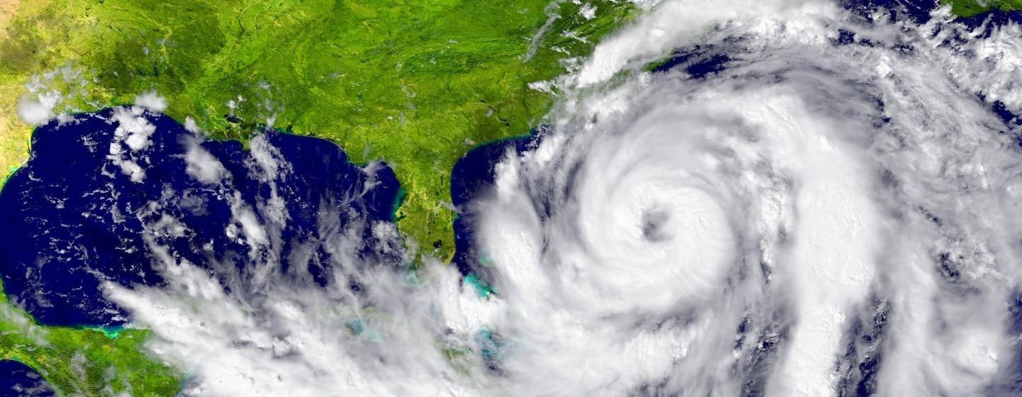
The early forecasts for how dangerous the 2025 Atlantic hurricane season (June 1–November 30) might be are now public, and they’re not good.
AccuWeather was one of the first to release its forecast, which calls for another active season with multiple impacts on the United States. AccuWeather forecasters predict between 13 and 18 named storms in 2025, including seven to 10 hurricanes and three to five major hurricanes that reach Category 3 strength or higher.
“Similar to last year, northern and eastern portions of the Gulf Coast and the Carolinas are at a higher-than-average risk of direct impacts this season,” said Alex DaSilva, AccuWeather’s lead hurricane expert, in a press release.
Colorado State University’s Tropical Cyclones, Radar, Atmospheric Modeling and Software Team outlook is essentially the same, with 17 storms forecast and nine expected to become hurricanes. In both forecasts, warm sea surface temperatures were cited as one of the main reasons for the active season prediction.
“Sea surface temperatures across the eastern and central Atlantic are generally warmer than normal, but not as warm as they were last year at this time,” notes the Colorado State University forecast.
North Carolina State University’s forecast is on the lower end of the hurricane prediction model, with researchers predicting 12–15 named storms in the Atlantic, with six to eight expected to grow strong enough to become hurricanes. Researchers say two to three of those storms could become major hurricanes.
NC State Professor of Marine, Earth and Atmospheric Sciences Lian Xie and his team evaluated more than 100 years of historical data on Atlantic Ocean hurricane positions and intensity as well as other variables, including weather patterns and sea-surface temperatures, to create their forecast model.
“A rapid intensification of storms will likely be a major story yet again this year as sea-surface temperatures and ocean heat content (OHC) across most of the basin are forecast to be well above average,” added AccuWeather’s DaSilva.
The other factor in hurricane forecasting is the status of the El Niño-Southern Oscillation (ENSO) contrasting climate pattern in the equatorial Pacific Ocean. The patterns usually last about 12 months and are defined by sea surface temperatures and precipitation that break from the usually neutral norm. El Niño is the warmer half of the cycle, and La Niña is the inverse.
Until they ended in March, La Niña conditions were present in the tropical Pacific, but climatologists anticipate those conditions will be neutral by summer. The likely absence of El Niño, which normally would weaken hurricane activity, could mean conditions are slightly more favorable for Atlantic hurricanes to form.
The first named Atlantic storm of the 2025 season will be Andrea, followed by Barry, Chantal and Dexter. Storms are given a name when their sustained winds reach 39 mph and attain hurricane status at 74 mph.
The potential for back-to-back dangerous hurricane seasons illustrates how human-caused climate change makes hurricanes more intense.
It’s important to note that climate change has not led to an increase in the total numbers of hurricanes forming in the Atlantic or Pacific Oceans or the number of storms hitting the U.S. each year. But the storms that do form are more likely to become more intense, meaning higher wind speeds, heavier rainfall and a greater storm surge.
Why? The hot water.
The ocean is much warmer, and warmer ocean temperatures fuel more powerful storms. In fact, the Atlantic Ocean has been hotter than average for almost two years, driven by climate change and the El Niño weather pattern.
The Gulf of Mexico has also been warmer than average for about the same time.
Hurricane Helene is a good example of what happens to storms when the water is super warm. Helene grew from a relatively weak tropical storm into a Category 4 hurricane in the two days before it hit Florida. The water temperature in the Gulf was 85°F, like a warm bath.
Scientists call that dramatic change rapid intensification.
Abnormally warm ocean waters also cause storms to suck up large amounts of moisture before moving over land. All that moisture then falls as rain, which causes catastrophic flooding. Hurricane Helene dropped more than 20 inches of rain on North Carolina’s mountains.
The 2024 hurricane season had more than 400 fatalities, making it the continental United States’ deadliest hurricane season since 2005. It was also the third costliest on record, after 2017 and 2005.
The death toll from Hurricane Helene was at least 241, making it the deadliest single storm in the continental U.S. since Hurricane Katrina in 2005, which was estimated to have killed 1,400 people.
2024 also saw Hurricanes Beryl and Milton. In all, 18 named tropical storms formed during the year. Eleven of those storms strengthened into hurricanes.
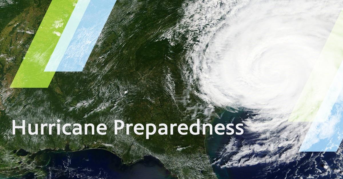
Learn more about how to plan and prepare for severe weather in North Carolina during Hurricane Preparedness Week, May 4–10. Explore resources from PBS North Carolina and the Department of Public Safety below, including live news briefings when severe weather strikes, information to make a household plan, tools for kids, and science reporting from Sci NC and other PBS programs.