Coastal Erosion Solutions


Published on
• Last modified on
Coastal regions in the U.S. are some of the most densely populated areas in the country, and they are also the most vulnerable to sea level rise. A recent NOAA report found that sea levels will rise about a foot or more by 2050, regardless of how much we cut carbon emissions.
The East and Gulf coasts will be most affected, as the land in these regions is already sinking and compacting. The result in North Carolina will be higher tides, higher storm surges and more “nuisance” or “sunny day” flooding.
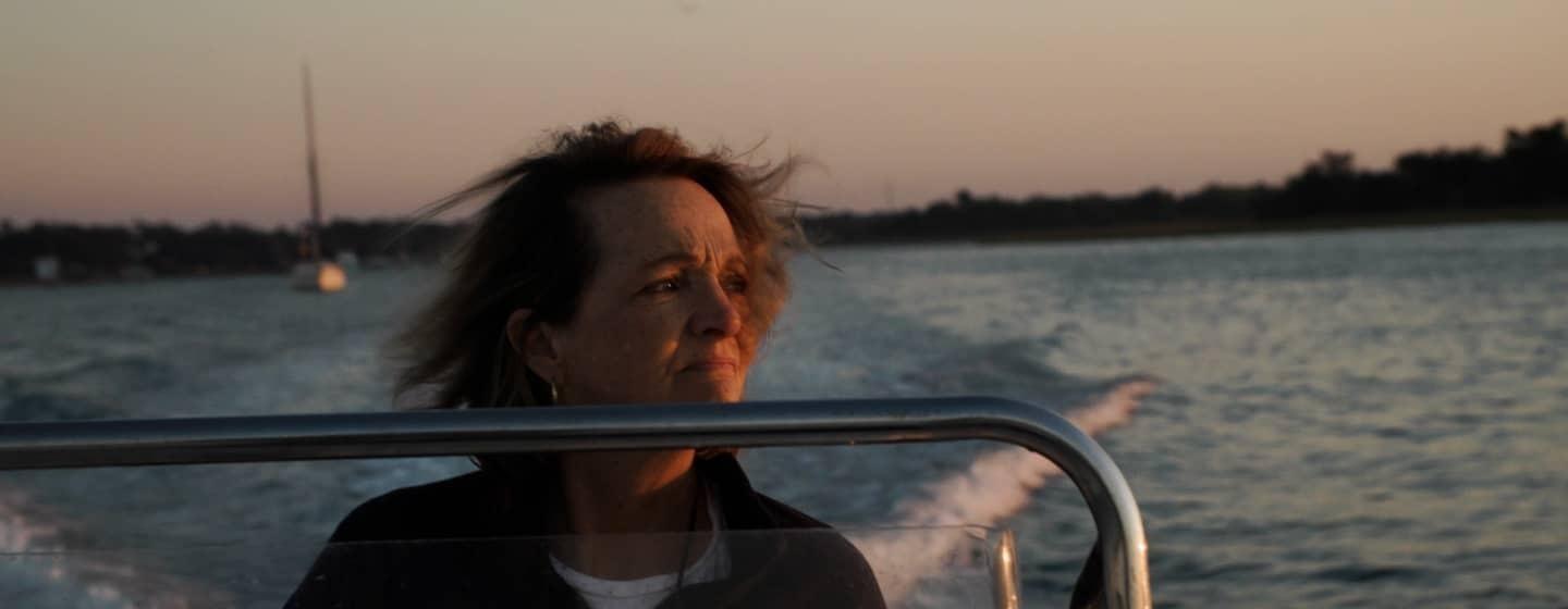
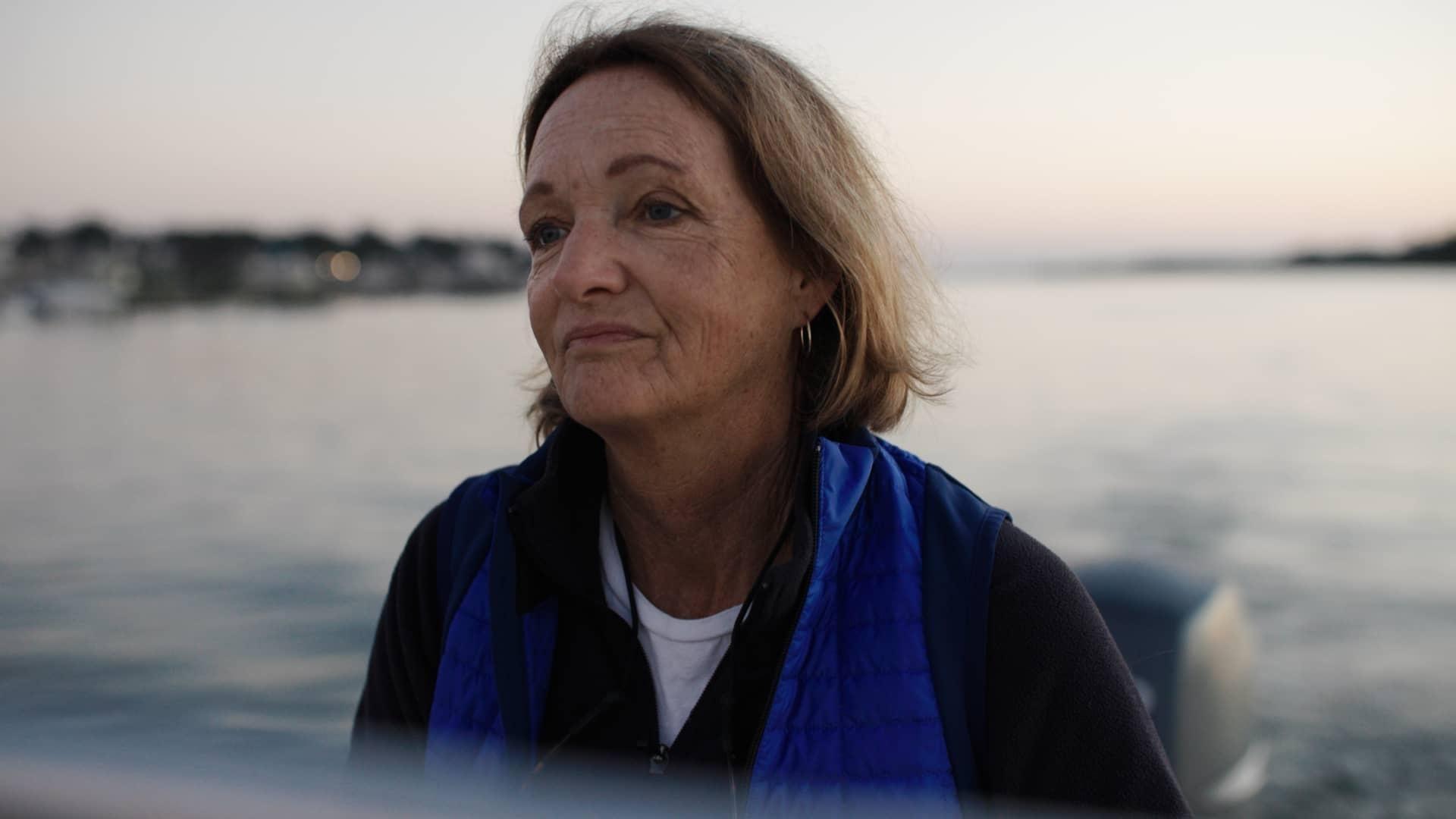
For people like Tracy Skrabal, a New Hanover resident, the threat of sea level rise is already very real.
“The local rise in sea level in my community in New Hanover County has doubled in the last 15 years over the previous 50 years,” said Skrabal. “I think the urgency of the situation on our local coastal region has really been a factor in how I approach my work.”
Skrabal works for the North Carolina Coastal Federation, a non-profit dedicated to coastal protection. The Federation promotes the use of nature-based engineering projects to mitigate some of the pressures of sea level rise, including flooding and erosion.
The team helped install a stormwater rain garden at Bradley Elementary in New Hanover County. The gardens give floodwaters someplace to go instead of collecting in the school’s parking lot.
“If you walk in there right now, you'll get your feet wet, but you won't get your feet wet in the parking lot where they used to have flooding and the teachers had to take their shoes off to get out of their cars to get to school,” said Skrabal.
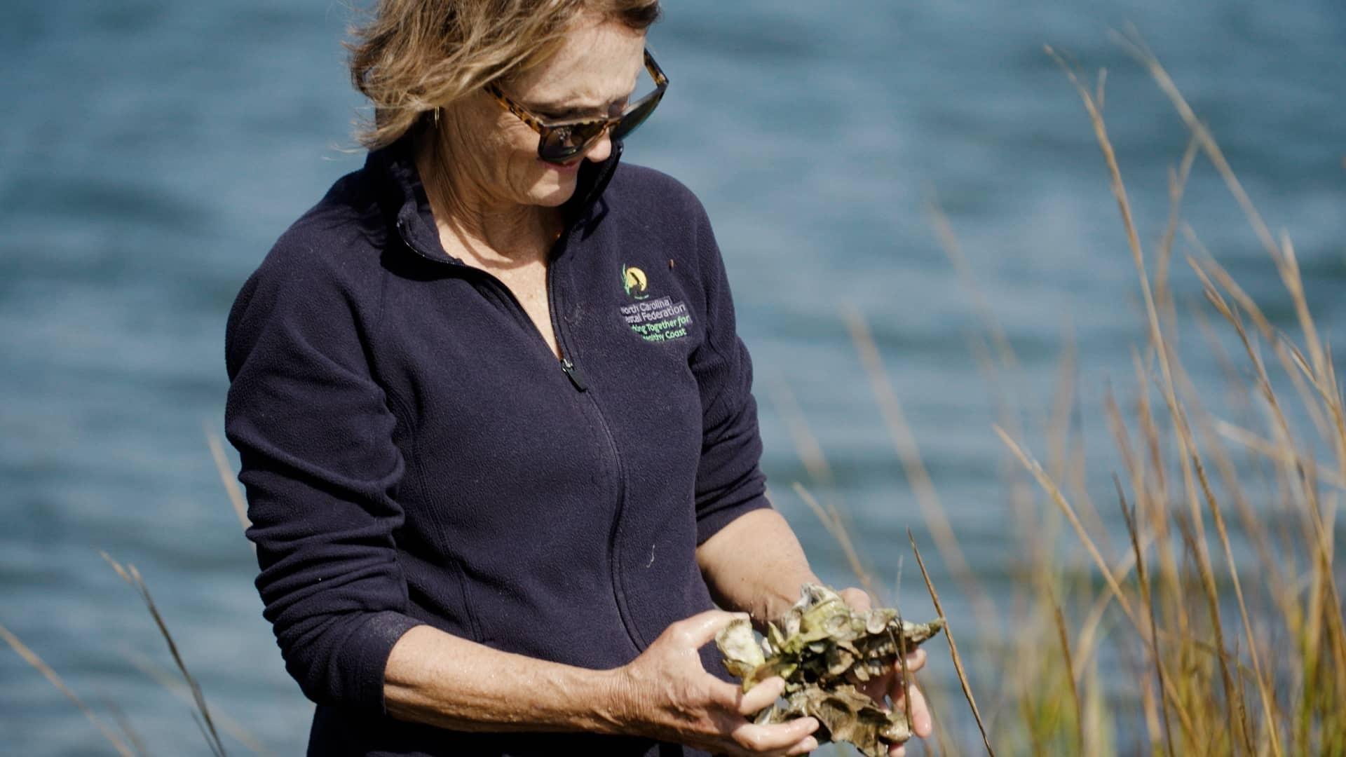
Sea level rise is also accelerating erosion for homeowners living along estuaries, which make up the bulk of North Carolina’s coastline. Often the default solution for erosion is to install expensive bulkheads or a rock wall, which fail to hold up during storms and damage the ecosystem. Close to 14 percent of the nation’s shorelines have already been hardened.
The Coastal Federation helps homeowners install living shorelines instead, Living shorelines are barriers made of natural materials like oyster shells. They absorb wave energy while providing a place for marine organisms like oysters to live, which improves water quality.
“As sea levels rise, we are seeing a lot higher water levels than we’ve had in the past,” said Lexia Weaver, Ph.D., a coastal scientist with the Coastal Federation. “So, we're seeing erosion along the entire length of the shoreline, and as we see more and more of that, living shorelines are a great solution to help reduce the effects of higher water.”
Further north, the town of Beaufort, like many other coastal cities, is experiencing a spike in nuisance or sunny day flooding. Nuisance flooding can happen for a variety of reasons, but it usually occurs because high tides are generally higher than they used to be, causing flooding even on a sunny day.
For the historic town of Beaufort, high tides are pushing seawater up through the town’s storm drains, flooding downtown streets. Unlike a freshwater flood after a hard rain, these floods contain corrosive, salty ocean water which can damage pipes, cars, and infrastructure.
“We pay a lot of attention to hurricanes and things that are going to make that impact,” said Mayor Sharon Harker. “But it's tough when you wake up in the morning and all of a sudden there’s a king tide and you can't even get out of your driveway.”
The town is partnering with the UNC Institute of Marine Sciences (UNC-IMS) and North Carolina State University to document how often these floods are happening and where. That way, the town can make better decisions about how to manage these floods. For example, the town can choose to elevate buildings, or convert areas that flood frequently into parks.
“I think that this is sunny day flooding is one of these really powerful signals of climate change,” said Miyuki Hino, Ph.D., a researcher with UNC-IMS. “It's hard to detect a change in temperatures over time. But if you only used to see water on the street during a storm and now, you're seeing it 10, 15 times a year when it's high tide, that is a visible, tangible signal to people that theenvironment is changing now, and we need to get ready for it.”
Hino said those solutions need to come from the community.
“These are really, really important places,” she said. “And the biggest thing to remember is that it's not a one size fits all solution. It's going to take a mix of approaches based on what's important to the community.”
This story was produced with support from the NC Department of Natural and Cultural Resources and is part of the Pulitzer Center’s Connected Coastlines reporting initiative.
Farmers like Samantha Winship pay attention to shifting weather patterns. They know firsthand that the climate is changing.
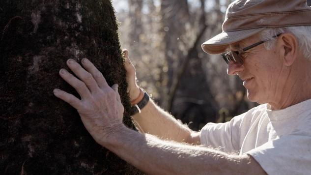
Our ancient trees provide an accurate record of more than two millennia of weather east of the Rockies.
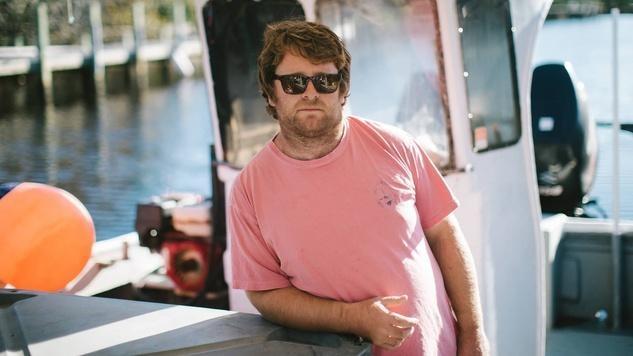
Warming waters present more change in diverse fisheries. Commercial fishers like Morty Gaskill are adapting.
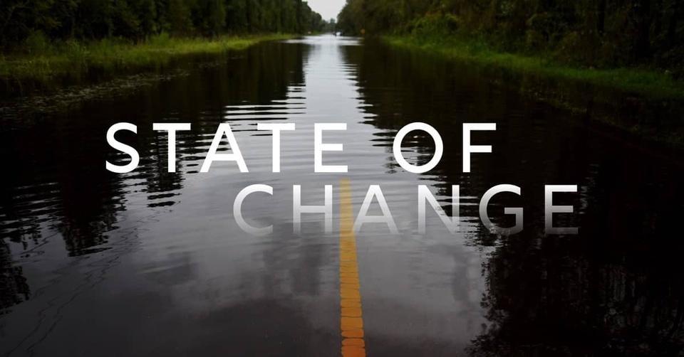
Sea level rise and coastal erosion are directly impacting the coastline, and extreme weather events bring the impacts of climate change inland. In our State of Change project, you'll hear from North Carolinians directly about the effects of climate change in their communities and the innovative solutions they're pioneering to build a more resilient state.
State of Change premieres Wednesday, 4/20, 7 PM on PBS NC and the PBS Video app.